
Kalbarri topographic map
Click on the map to display elevation.
Kalbarri
Kalbarri is a coastal town in the Mid West region located 592 km (368 mi) north of Perth, Western Australia. The town is found at the mouth of the Murchison River and has an elevation of 6 metres (20 ft). It is connected by public transport to Perth via Transwa coach services N1 and N2.
About this map
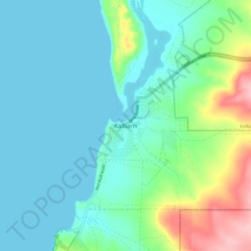
Name: Kalbarri topographic map, elevation, terrain.
Location: Kalbarri, Western Australia, 6536, Australia (-27.75100 114.12382 -27.67100 114.20382)
Average elevation: 32 m
Minimum elevation: 0 m
Maximum elevation: 148 m
Western Australia trails, hiking, mountain biking, running and outdoor activities