
Texel topographic map
Interactive map
Click on the map to display elevation.
About this map
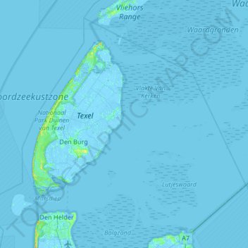
Name: Texel topographic map, elevation, terrain.
Location: Texel, Hollande-Septentrionale, Pays-Bas (52.94107 4.61300 53.21427 5.14428)
Average elevation: 0 m
Minimum elevation: -5 m
Maximum elevation: 17 m