Geolocate

Shepherd topographic map

Click on the map to display elevation.

About this map
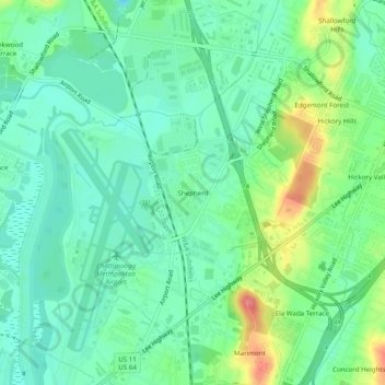
Name: Shepherd topographic map, elevation, terrain.

Location: Shepherd, Chattanooga, Hamilton County, East Tennessee, Tennessee, 37411, United States (35.01896 -85.21190 35.05896 -85.17190)

Average elevation: 212 m

Minimum elevation: 188 m

Maximum elevation: 267 m

Other topographic maps

Click on a map to view its topography, its elevation and its terrain.
Gear up for your next adventure:

🆘Personal Locator Beacons (PLB) - Satellite emergency beacons for life-saving help in areas with no mobile coverage
🎒Ultralight Backpacks - Lightweight packs for long hikes
🔦Headlamps - Hands-free lighting for hiking
🦯Adjustable Trekking Poles - Reduce impact on knees when descending steep topographic ridges
⌚GPS Watches - GPS watches for outdoor sports

As an Amazon Associate, this site earns from qualifying purchases at no extra cost to you.