La Coulée (fleuve) topographic map
Interactive map
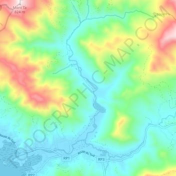
Click on the map to display elevation.
About this map
Name: La Coulée (fleuve) topographic map, elevation, terrain.
Average elevation: 226 m
Minimum elevation: -5 m
Maximum elevation: 798 m

Click on the map to display elevation.
Name: La Coulée (fleuve) topographic map, elevation, terrain.
Average elevation: 226 m
Minimum elevation: -5 m
Maximum elevation: 798 m