
Aura topographic map
Interactive map
Click on the map to display elevation.
About this map
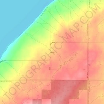
Name: Aura topographic map, elevation, terrain.
Location: Aura, Baraga County, Michigan, USA (46.84271 -88.33874 46.88271 -88.29874)
Average elevation: 240 m
Minimum elevation: 177 m
Maximum elevation: 281 m