
Viberup topographic map
Interactive map
Click on the map to display elevation.
About this map
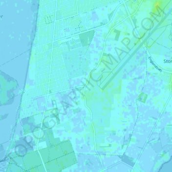
Name: Viberup topographic map, elevation, terrain.
Location: Viberup, Tårnby Kommune, Region Hovedstaden, 2770, Denemarken (55.57304 12.57703 55.61304 12.61703)
Average elevation: 1 m
Minimum elevation: -4 m
Maximum elevation: 8 m