
Berchem-Sainte-Agathe - Sint-Agatha-Berchem topographic map
Interactive map
Click on the map to display elevation.
About this map
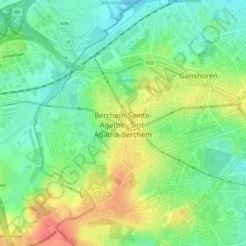
Name: Berchem-Sainte-Agathe - Sint-Agatha-Berchem topographic map, elevation, terrain.
Average elevation: 51 m
Minimum elevation: 28 m
Maximum elevation: 83 m