Geolocate

Newburgh topographic map

Click on the map to display elevation.

About this map

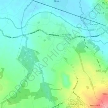
Name: Newburgh topographic map, elevation, terrain.

Location: Newburgh, West Lancashire, Lancashire, England, United Kingdom (53.56739 -2.80438 53.59672 -2.76544)

Average elevation: 37 m

Minimum elevation: 8 m

Maximum elevation: 118 m

Gear up for your next adventure:

🏕️Camping Gear - Essential camping equipment
🧰Survival Kits - Essential survival gear
Ultralight Solo Tents - Compact shelters for multi-day topographic surveying expeditions
📱Shockproof Phone Cases - Extra protection for your smartphone against drops on rocky terrain
🔦Powerful LED Headlamps - Hands-free lighting for night navigation and setting up camp after dark

As an Amazon Associate, this site earns from qualifying purchases at no extra cost to you.