
Kurow topographic map
Interactive map
Click on the map to display elevation.
About this map
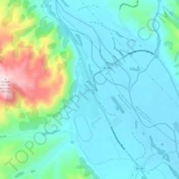
Name: Kurow topographic map, elevation, terrain.
Location: Kurow, Waitaki District, Canterbury, 9435, New Zealand (-44.75389 170.44946 -44.71389 170.48946)
Average elevation: 274 m
Minimum elevation: 191 m
Maximum elevation: 596 m
Other topographic maps
Click on a map to view its topography, its elevation and its terrain.
Duntroon
New Zealand > Canterbury > Waitaki District
Duntroon, Waitaki District, Canterbury, New Zealand
Average elevation: 150 m
Mount David
New Zealand > Canterbury > Waitaki District
Mount David, Waitaki District, Canterbury, New Zealand
Average elevation: 995 m
Otematata
New Zealand > Canterbury > Waitaki District
Otematata, Waitaki District, Canterbury, New Zealand
Average elevation: 343 m