
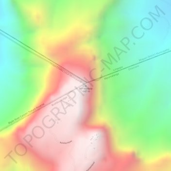
Mariepskop topographic map
Interactive map
Click on the map to display elevation.
About this map
Name: Mariepskop topographic map, elevation, terrain.
Average elevation: 1,445 m
Minimum elevation: 930 m
Maximum elevation: 1,948 m
Several distinguishable plant communities have been described. The foothills are covered in low altitude woodlands, which are distinguished as lowveld gallery forest, savanna on mountain slopes, savanna on rocky terrain and submontane forest. In the mountain's higher reaches the high mountain grassland is locally replaced by a type of fynbos vegetation. The higher elevations are home to the mountain plateau, Widdringtonia and montane forest plant communities.