
وادان topographic map
Interactive map
Click on the map to display elevation.
About this map
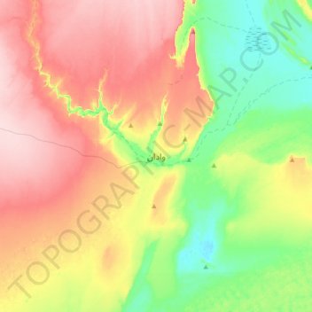
Name: وادان topographic map, elevation, terrain.
Location: وادان, Adrar, Mauretanien (20.77360 -11.77723 21.09360 -11.45723)
Average elevation: 465 m
Minimum elevation: 371 m
Maximum elevation: 577 m