
Serra topographic map
Interactive map
Click on the map to display elevation.
About this map
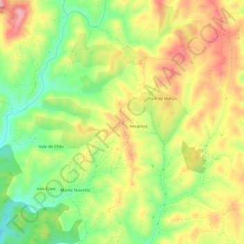
Name: Serra topographic map, elevation, terrain.
Location: Serra, Luzianes-Gare, Odemira, Beja, 7665-891, Portugal (37.55121 -8.54218 37.59121 -8.50218)
Average elevation: 141 m
Minimum elevation: 57 m
Maximum elevation: 225 m