
Wayer topographic map
Interactive map
Click on the map to display elevation.
About this map
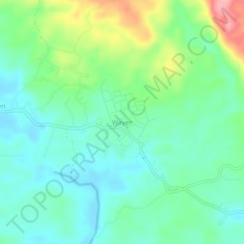
Name: Wayer topographic map, elevation, terrain.
Location: Wayer, West Papua, Indonesia (-1.49843 132.06737 -1.45843 132.10737)
Average elevation: 38 m
Minimum elevation: 1 m
Maximum elevation: 132 m
Other topographic maps
Click on a map to view its topography, its elevation and its terrain.