
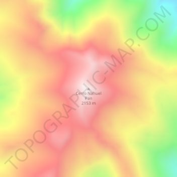
Cerro Nahuel Pan topographic map
Interactive map
Click on the map to display elevation.
About this map
Name: Cerro Nahuel Pan topographic map, elevation, terrain.
Average elevation: 1,791 m
Minimum elevation: 1,238 m
Maximum elevation: 2,150 m
Other topographic maps
Click on a map to view its topography, its elevation and its terrain.
Esquel
Argentina > Chubut > Municipio de Esquel
Esquel, Municipio de Esquel, Departamento Futaleufú, Chubut, U9200, Argentina
Average elevation: 691 m