
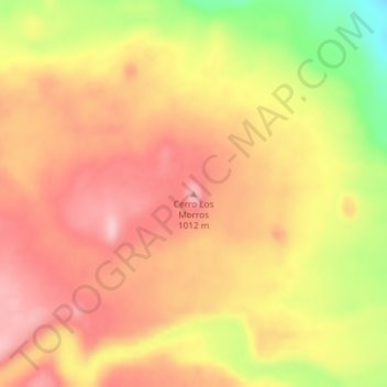
Cerro Los Morros topographic map
Interactive map
Click on the map to display elevation.
About this map
Name: Cerro Los Morros topographic map, elevation, terrain.
Average elevation: 932 m
Minimum elevation: 821 m
Maximum elevation: 995 m
Other topographic maps
Click on a map to view its topography, its elevation and its terrain.
Nant y fall
Argentina > Chubut > Municipio de Trevelin
Nant y fall, Municipio de Trevelin, Departamento Futaleufú, Chubut, Argentina
Average elevation: 369 m