
Sedouros topographic map
Interactive map
Click on the map to display elevation.
About this map
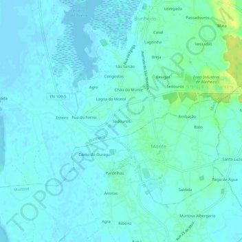
Name: Sedouros topographic map, elevation, terrain.
Location: Sedouros, Bunheiro, Murtosa, Aveiro, 3870-046, Portugal (40.73713 -8.67031 40.77713 -8.63031)
Average elevation: 4 m
Minimum elevation: -3 m
Maximum elevation: 21 m
Other topographic maps
Click on a map to view its topography, its elevation and its terrain.