
Reese topographic map
Interactive map
Click on the map to display elevation.
About this map
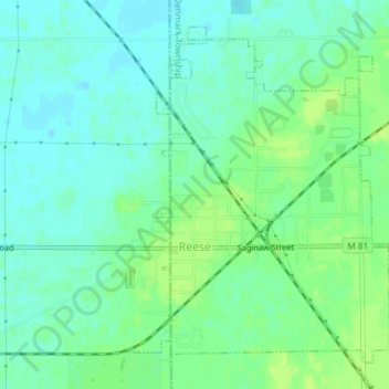
Name: Reese topographic map, elevation, terrain.
Location: Reese, Tuscola County, Michigan, VS (43.44253 -83.70306 43.46582 -83.67777)
Average elevation: 189 m
Minimum elevation: 183 m
Maximum elevation: 196 m