
Wangen topographic map
Interactive map
Click on the map to display elevation.
About this map
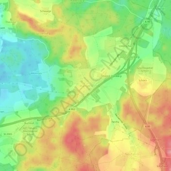
Name: Wangen topographic map, elevation, terrain.
Location: Wangen, Starnberg, Landkreis Starnberg, Bayern, Deutschland (47.99140 11.38259 48.03140 11.42259)
Average elevation: 638 m
Minimum elevation: 586 m
Maximum elevation: 692 m