
Karkaraly State National Nature Park topographic map
Interactive map
Click on the map to display elevation.
About this map
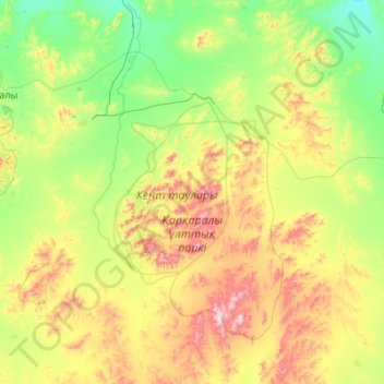
Name: Karkaraly State National Nature Park topographic map, elevation, terrain.
Average elevation: 933 m
Minimum elevation: 698 m
Maximum elevation: 1,537 m