
Cotos topographic map
Interactive map
Click on the map to display elevation.
About this map
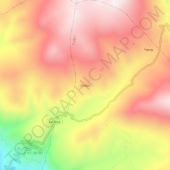
Name: Cotos topographic map, elevation, terrain.
Location: Cotos, Turpo, Andahuaylas, Apurímac, Perú (-13.75278 -73.51627 -13.71278 -73.47627)
Average elevation: 3,754 m
Minimum elevation: 3,272 m
Maximum elevation: 4,040 m