
洛浦街道 topographic map
Interactive map
Click on the map to display elevation.
About this map
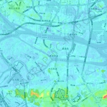
Name: 洛浦街道 topographic map, elevation, terrain.
Location: 洛浦街道, 番禺区, 广州市, 广东省, 511431, 中国 (23.02267 113.24917 23.05695 113.34711)
Average elevation: 8 m
Minimum elevation: -18 m
Maximum elevation: 114 m