
East Horsley topographic map
Interactive map
Click on the map to display elevation.
About this map
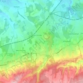
Name: East Horsley topographic map, elevation, terrain.
Location: East Horsley, Guildford, Surrey, England, United Kingdom (51.23957 -0.44104 51.30371 -0.40524)
Average elevation: 89 m
Minimum elevation: 25 m
Maximum elevation: 207 m