Geolocate

Lundar topographic map

Click on the map to display elevation.

About this map
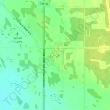
Name: Lundar topographic map, elevation, terrain.

Location: Lundar, Rural Municipality of Coldwell, Division No. 18, Manitoba, R0C 1Y0, Canada (50.67554 -98.05497 50.71554 -98.01497)

Average elevation: 258 m

Minimum elevation: 250 m

Maximum elevation: 265 m

Gear up for your next adventure:

🩹Wilderness First Aid Kits - Comprehensive medical kits tailored for hiking and remote exploration
🎨Portable Watercolor Kits - Paint the landscapes and topographic views you discover
🎒Ultralight Backpacks - Lightweight packs for long hikes
🧭Global Orienteering Compass - High-precision liquid-filled compasses for accurate map reading and navigation
👕UPF 50+ Sun Shirts - Essential protection against the harsh Australian sun during field work

As an Amazon Associate, this site earns from qualifying purchases at no extra cost to you.