
Le Plan topographic map
Interactive map
Click on the map to display elevation.
About this map
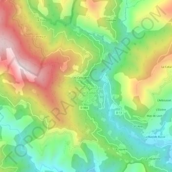
Name: Le Plan topographic map, elevation, terrain.
Average elevation: 550 m
Minimum elevation: 289 m
Maximum elevation: 915 m
Other topographic maps
Click on a map to view its topography, its elevation and its terrain.
Le Serre de la Can
France > Occitanie > Lozère > Saint-Germain-de-Calberte > Le Serre de la Can
Le Serre de la Can, Saint-Germain-de-Calberte, Florac, Lozère, Occitanie, France métropolitaine, 48370, France
Average elevation: 591 m