

Kras topographic map
Click on the map to display elevation.
Kras
It lies between the Vipava Valley, the low hills surrounding the valley, the westernmost part of the Brkini Hills, northern Istria, and the Gulf of Trieste. The western edge of the plateau also marks the traditional ethnic border between Italians and Slovenes. The region gave its name to karst topography. For this reason, it is also referred to as the Classical Karst.
About this map
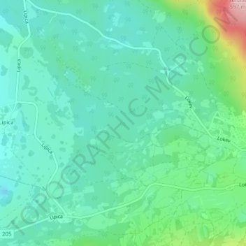
Name: Kras topographic map, elevation, terrain.
Location: Kras, Sežana, Upravna enota Sežana, 6219, Slovenia (45.66779 13.90134 45.66789 13.90144)
Average elevation: 423 m
Minimum elevation: 377 m
Maximum elevation: 577 m