
Brusow topographic map
Interactive map
Click on the map to display elevation.
About this map
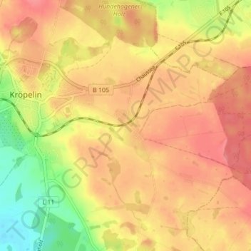
Name: Brusow topographic map, elevation, terrain.
Average elevation: 73 m
Minimum elevation: 28 m
Maximum elevation: 99 m
Other topographic maps
Click on a map to view its topography, its elevation and its terrain.
Jennewitz
Deutschland > Mecklenburg-Vorpommern > Landkreis Rostock > Kröpelin
Jennewitz, Kröpelin, Landkreis Rostock, Mecklenburg-Vorpommern, 18236, Deutschland
Average elevation: 78 m