
Rolvenden topographic map
Interactive map
Click on the map to display elevation.
About this map
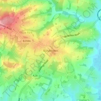
Name: Rolvenden topographic map, elevation, terrain.
Location: Rolvenden, Kent, South East, England, TN17 4LN, United Kingdom (51.03154 0.60912 51.07154 0.64912)
Average elevation: 38 m
Minimum elevation: -1 m
Maximum elevation: 98 m