
Vaihingen an der Enz topographic map
Interactive map
Click on the map to display elevation.
Vaihingen an der Enz
Vaihingen lies at an altitude of 200 to 450 metres at the end of the Strohgäus, on the western edge of the Neckarbecken in a valley widening of the Enz. The town centre lies on the east side of the river and is overlooked by the castle Kaltenstein.
About this map
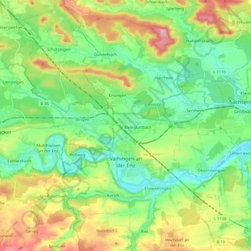
Name: Vaihingen an der Enz topographic map, elevation, terrain.
Average elevation: 283 m
Minimum elevation: 189 m
Maximum elevation: 475 m