
Santa Rita topographic map
Interactive map
Click on the map to display elevation.
About this map
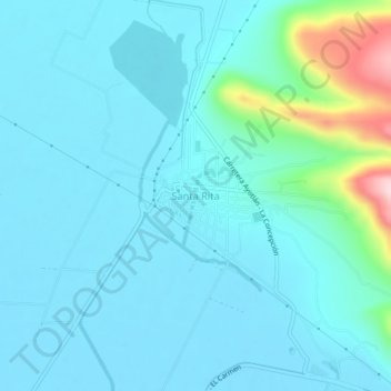
Name: Santa Rita topographic map, elevation, terrain.
Location: Santa Rita, Ayotlán, Jalisco, México (20.42195 -102.41182 20.46195 -102.37182)
Average elevation: 1,584 m
Minimum elevation: 1,541 m
Maximum elevation: 1,857 m