Geolocate

Mount Helena topographic map

Click on the map to display elevation.

About this map

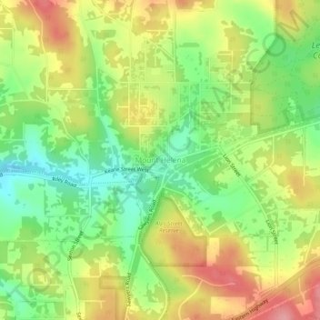
Name: Mount Helena topographic map, elevation, terrain.

Location: Mount Helena, Western Australia, 6073, Australia (-31.89788 116.18935 -31.85788 116.22935)

Average elevation: 299 m

Minimum elevation: 245 m

Maximum elevation: 360 m

Western Australia trails, hiking, mountain biking, running and outdoor activities

Gear up for your next adventure:

🧭Military Style Lensatic Compass - Durable sighting compasses for advanced land navigation and surveying
🔑Heavy Duty Carabiners - Secure gear to the outside of your pack for easy access
🗺️Topographic Maps - Detailed maps for hiking and navigation
🎒Hiking Backpacks - Backpacks designed for hiking and trekking
🍳Camping Cookware - Cookware sets for outdoor meals

As an Amazon Associate, this site earns from qualifying purchases at no extra cost to you.