
1 Мамыр topographic map
Interactive map
Click on the map to display elevation.
About this map
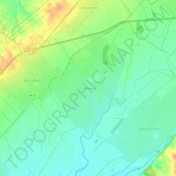
Name: 1 Мамыр topographic map, elevation, terrain.
Average elevation: 350 m
Minimum elevation: 335 m
Maximum elevation: 375 m
Other topographic maps
Click on a map to view its topography, its elevation and its terrain.
Байтерек
Казахстан > Туркестанская область > Келесский район > Қошқарата ауылдық округі
Байтерек, Қошқарата ауылдық округі, Келесский район, Туркестанская область, Казахстан
Average elevation: 345 m