
Sungai Baleh topographic map
Interactive map
Click on the map to display elevation.
About this map
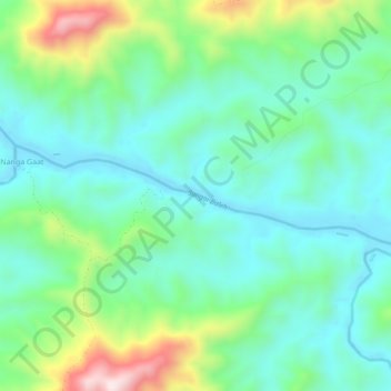
Name: Sungai Baleh topographic map, elevation, terrain.
Location: Sungai Baleh, Nanga Gaat, Sarawak, Malaysia (1.87272 113.44646 1.88724 113.50238)
Average elevation: 188 m
Minimum elevation: 24 m
Maximum elevation: 641 m