
Egon topographic map
Interactive map
Click on the map to display elevation.
About this map
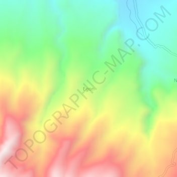
Name: Egon topographic map, elevation, terrain.
Location: Egon, Petites Îles de la Sonde orientales, Indonésie (-8.67284 122.39459 -8.63284 122.43459)
Average elevation: 546 m
Minimum elevation: 141 m
Maximum elevation: 1,063 m