
Kalunga topographic map
Interactive map
Click on the map to display elevation.
About this map
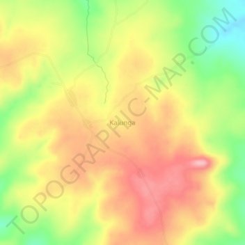
Name: Kalunga topographic map, elevation, terrain.
Location: Kalunga, Tanganyika, Democratic Republic of the Congo (-6.60333 28.64667 -6.56333 28.68667)
Average elevation: 1,192 m
Minimum elevation: 1,109 m
Maximum elevation: 1,258 m