
Fords Creek topographic map
Interactive map
Click on the map to display elevation.
About this map
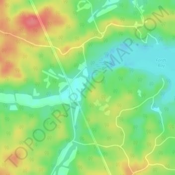
Name: Fords Creek topographic map, elevation, terrain.
Location: Fords Creek, Trigg County, Kentucky, United States (36.71440 -87.99789 36.71915 -87.99438)
Average elevation: 135 m
Minimum elevation: 104 m
Maximum elevation: 176 m