
Loza topographic map
Interactive map
Click on the map to display elevation.
About this map
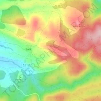
Name: Loza topographic map, elevation, terrain.
Location: Loza, Peñacerrada, Montaña Alavesa, Álava, País Vasco, España (42.63121 -2.69665 42.65490 -2.65598)
Average elevation: 834 m
Minimum elevation: 730 m
Maximum elevation: 935 m