
Coromoro topographic map
Interactive map
Click on the map to display elevation.
About this map
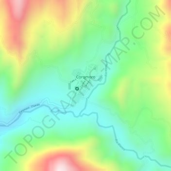
Name: Coromoro topographic map, elevation, terrain.
Location: Coromoro, Guanentá, Santander, Colombia (6.29079 -73.04354 6.29772 -73.03871)
Average elevation: 1,623 m
Minimum elevation: 1,436 m
Maximum elevation: 1,925 m
Other topographic maps
Click on a map to view its topography, its elevation and its terrain.