
沙埠镇 topographic map
Interactive map
Click on the map to display elevation.
About this map
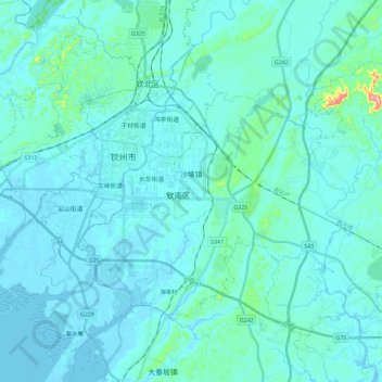
Name: 沙埠镇 topographic map, elevation, terrain.
Location: 沙埠镇, 钦南区, 钦州市, 广西壮族自治区, 535011, 中国 (21.86431 108.59369 22.02639 108.82262)
Average elevation: 19 m
Minimum elevation: -2 m
Maximum elevation: 223 m
Other topographic maps
Click on a map to view its topography, its elevation and its terrain.