
Green Island topographic map
Interactive map
Click on the map to display elevation.
About this map
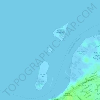
Name: Green Island topographic map, elevation, terrain.
Location: Green Island, Bà Rịa - Vũng Tàu Province, Vietnam (10.40465 107.09833 10.40613 107.09968)
Average elevation: 1 m
Minimum elevation: -10 m
Maximum elevation: 10 m
Other topographic maps
Click on a map to view its topography, its elevation and its terrain.
Hồ Đá Bàng
Vietnam > Bà Rịa - Vũng Tàu Province > Chau Duc District > Da Bac Commune
Average elevation: 45 m