
Mahala topographic map
Interactive map
Click on the map to display elevation.
About this map
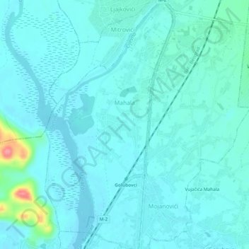
Name: Mahala topographic map, elevation, terrain.
Location: Mahala, Opština Zeta, Monténégro (42.33389 19.20305 42.36838 19.22712)
Average elevation: 19 m
Minimum elevation: 7 m
Maximum elevation: 98 m