
Lomin topographic map
Interactive map
Click on the map to display elevation.
About this map
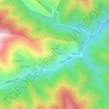
Name: Lomin topographic map, elevation, terrain.
Location: Lomin, Astara, Lankaran-Astara, Azerbaïdjan (38.51268 48.67003 38.52118 48.68275)
Average elevation: 415 m
Minimum elevation: 194 m
Maximum elevation: 779 m