
Hodale Terara topographic map
Interactive map
Click on the map to display elevation.
About this map
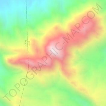
Name: Hodale Terara topographic map, elevation, terrain.
Location: Hodale Terara, Zone 1, Afar Region, Ethiopia (12.34861 40.72333 12.36861 40.74333)
Average elevation: 1,050 m
Minimum elevation: 676 m
Maximum elevation: 1,416 m
Other topographic maps
Click on a map to view its topography, its elevation and its terrain.