Geolocate

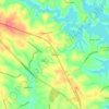
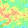
Salem topographic map

Click on the map to display elevation.

About this map
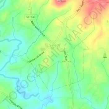
Name: Salem topographic map, elevation, terrain.

Location: Salem, Oconee County, South Carolina, United States (34.87839 -82.98540 34.89662 -82.96607)

Average elevation: 316 m

Minimum elevation: 275 m

Maximum elevation: 385 m

Other topographic maps

Click on a map to view its topography, its elevation and its terrain.
Fair Play

United States > South Carolina > Oconee County

Average elevation: 233 m

Phinney

United States > South Carolina > Oconee County

Average elevation: 270 m

Madison

United States > South Carolina > Oconee County

Average elevation: 240 m

Cheohee

United States > South Carolina > Oconee County

Average elevation: 339 m

Newry

United States > South Carolina > Oconee County

Average elevation: 251 m

Wexford

United States > South Carolina > Oconee County

Average elevation: 232 m

Dalton

United States > South Carolina > Oconee County > Seneca

Average elevation: 267 m

Gear up for your next adventure:

👄SPF Lip Balm - Prevent sun and wind-burnt lips on mountain ridges
🎨Portable Watercolor Kits - Paint the landscapes and topographic views you discover
🦯Adjustable Trekking Poles - Reduce impact on knees when descending steep topographic ridges
🎒3L Hydration Reservoirs - Hands-free drinking to stay hydrated on steep contour climbs
🌧️Rain Jackets - Waterproof jackets for hiking

As an Amazon Associate, this site earns from qualifying purchases at no extra cost to you.