
Lakewood topographic map
Interactive map
Click on the map to display elevation.
About this map
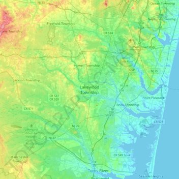
Name: Lakewood topographic map, elevation, terrain.
Location: Lakewood, Ocean County, New Jersey, 08701, United States (39.93789 -74.37764 40.25789 -74.05764)
Average elevation: 25 m
Minimum elevation: -5 m
Maximum elevation: 102 m