Geolocate

Partino topographic map

Click on the map to display elevation.

About this map

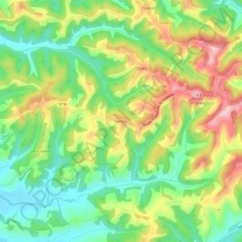
Name: Partino topographic map, elevation, terrain.

Location: Partino, Palaia, Pisa, Tuscany, 56036, Italy (43.58067 10.73253 43.62067 10.77253)

Average elevation: 119 m

Minimum elevation: 40 m

Maximum elevation: 226 m

Gear up for your next adventure:

🌧️Rain Jackets - Waterproof jackets for hiking
🏕️Camping Gear - Essential camping equipment
📚Map Reading & Navigation Guides - Master the art of interpreting topographic contours and symbols
📣High-Decibel Survival Whistles - Signaling tool for rescue that carries much further than a human voice
🪢Paracord - Multi-purpose survival cord

As an Amazon Associate, this site earns from qualifying purchases at no extra cost to you.