
Langa de Duero topographic map
Interactive map
Click on the map to display elevation.
About this map
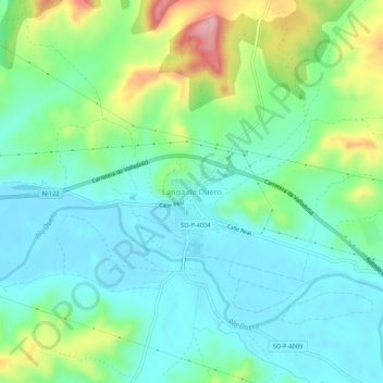
Name: Langa de Duero topographic map, elevation, terrain.
Location: Langa de Duero, Castilla y León, España (41.59120 -3.42048 41.63120 -3.38048)
Average elevation: 878 m
Minimum elevation: 829 m
Maximum elevation: 1,007 m