
Arroyo Frío topographic map
Interactive map
Click on the map to display elevation.
About this map
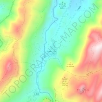
Name: Arroyo Frío topographic map, elevation, terrain.
Location: Arroyo Frío, La Iruela, Jaén, Andalucía, 23478, España (37.92686 -2.94289 37.96686 -2.90289)
Average elevation: 1,045 m
Minimum elevation: 740 m
Maximum elevation: 1,483 m