
Hausruck topographic map
Interactive map
Click on the map to display elevation.
About this map
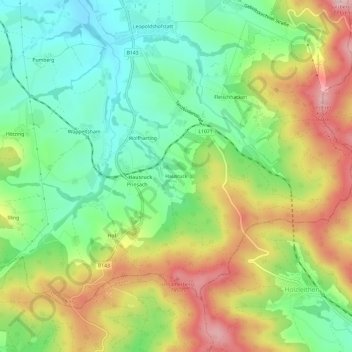
Name: Hausruck topographic map, elevation, terrain.
Location: Hausruck, Ried im Innkreis, Oberösterreich, 4906, Österreich (48.10901 13.55771 48.14901 13.59771)
Average elevation: 623 m
Minimum elevation: 525 m
Maximum elevation: 763 m