
De Hoef topographic map
Interactive map
Click on the map to display elevation.
About this map
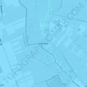
Name: De Hoef topographic map, elevation, terrain.
Location: De Hoef, De Ronde Venen, Utrecht, Nederland, 1426, Nederland (52.18164 4.79476 52.22164 4.83476)
Average elevation: -4 m
Minimum elevation: -8 m
Maximum elevation: 2 m