
North Kalimantan topographic map
Interactive map
Click on the map to display elevation.
About this map
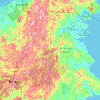
Name: North Kalimantan topographic map, elevation, terrain.
Location: North Kalimantan, Indonesia (1.11404 114.56516 4.40782 118.76508)
Average elevation: 374 m
Minimum elevation: -6 m
Maximum elevation: 2,145 m
Other topographic maps
Click on a map to view its topography, its elevation and its terrain.